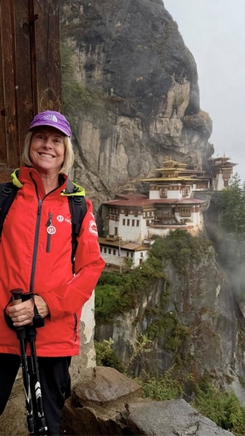
With over 40 hilltops (and 70 by some accounts), San Francisco is the second hilliest city in the world. While we residents are accustomed to our unusual topography, visitors can get weak in the knees just thinking about some of our epic ascents. As the founder of Urban Hiker SF, it’s my job and my pleasure to show people around the stairways, hills, and hiking trails of San Francisco. What I’ve learned through my work is that San Francisco has hikes of every level! Here are five easy hikes in San Francisco that people of all fitness levels can enjoy (ranked from shortest to longest).
1. Crissy Field to Fort Point
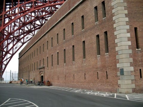
Distance: 2 miles roundtrip
Elevation: none
A favorite spot for locals and tourists alike, Crissy Field hosts thousands of walkers, runners, and bikers daily. Start this hike at the Warming Hut and take a paved path toward the Golden Gate Bridge. At the end of the path, you’ll reach Fort Point, a Civil War-era fort just underneath the bridge. Return on the same path to get back to your start.
2. Fort Funston Loop
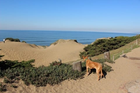
Distance: 2 miles roundtrip
Elevation: ~100 feet
Located in the southwestern corner of the city, Fort Funston is part of the Golden Gate National Recreation Area. This former military fort features an old gun battery plus a collection of walking paths that cut through sand dunes, ice plants, and Monterey Cypress groves. For an easy loop around the park (full details here), take the paved Coastal Trail from the main parking lot and continue straight until you reach the Horse Trail. Take the Horse Trail back to your start.
Bonus points: Take the “sand ladder” (a steep stairway) 200 feet down to the beach – and climb back up.
3. Stow Lake and Strawberry Hill
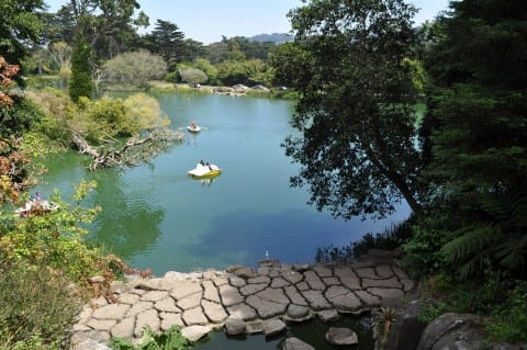
Distance: 2 miles roundtrip
Elevation: 150 feet
Manmade Stow Lake is one of 11 lakes in Golden Gate Park. Surrounding the lake is a one-mile paved path where you can observe birds, turtles, and paddle boaters enjoying the water. After a lake loop, take a bridge from either the northern or southern end of the park to enter Strawberry Hill, the island in the middle of the lake. From there, you can visit the Chinese Pagoda, Huntington Falls, or climb to the top of the island for views of downtown San Francisco.
4. Philosopher’s Way
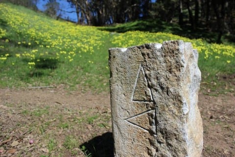
Distance: 2.7 miles roundtrip
Elevation: 400 feet
McLaren Park is San Francisco’s second largest park (after Golden Gate Park). It includes seven miles of walking trails including the 2.7 mile Philosopher’s Way. This trail guides you through the park’s perimeter using 60+ stone markers and 14 “musing stations.” This path is designed for contemplation, and the downtown views from the northern part of the loop will have you in awe.
Take it easy: Use this map to make this hike even shorter.
5. Lands End
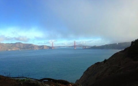
Distance: 3.5 miles roundtrip
Elevation: 270 feet (some stairs)
The Lands End Trail is located in the northwestern corner of the city. On a sunny day, you’ll get stunning views of the bay, the Golden Gate Bridge, and the Marin Headlands with occasional “interruptions” by cypress and fragrant eucalyptus trees. You can also connect with history as this route traces a late 1800s railroad route that led to the Cliff House and Sutro Baths.
Bonus points: Visit the ruins of the Sutro Baths or travel down to the Eagle Point labyrinth.